
How a Topographic Survey Guides Construction Before Work Begins
A topographic survey creates a map of the land. It shows slopes, elevation changes, drainage paths, and important features on the property. Builders, engineers, and architects use this information before construction starts.
Without a topographic survey, many decisions are based on guesses. That can lead to expensive mistakes later.
What Does a Topographic Survey Measure?
A topographic survey shows the shape and features of a site. It includes both natural and man-made features.
It can show:
- Elevation and ground heights across the property
- Contour lines that show how steep the land is
- Areas where water flows or collects
- Existing buildings, fences, and retaining walls
- Utility lines and underground services
- Trees and other features that may affect construction
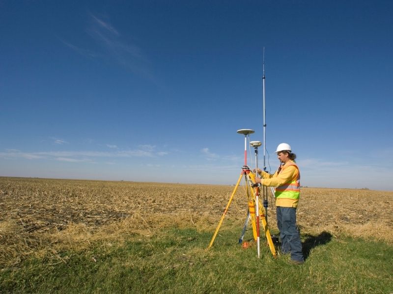
Surveyors use GPS equipment, total stations, and sometimes drones to collect this information.
How Topographic Surveys Help Before Construction
Drainage Planning
A topographic survey helps engineers understand where water moves across a property.
This information helps them design:
- Swales
- Culverts
- Retention ponds
- Proper floor elevations
Good drainage planning helps prevent flooding, erosion, and foundation damage.
Grading and Earthwork
Topographic data helps engineers calculate how much soil needs to be moved.
They can determine:
- Where soil should be removed
- Where fill dirt is needed
- How much earthwork will cost
Accurate information helps avoid surprises during construction.
Slope Stability
Steep slopes can create problems for buildings.
Topographic surveys help engineers identify areas that may need:
- Retaining walls
- Special foundations
- Additional soil support
Finding these issues early can save money and prevent delays.
Utility Routing
Water, sewer, gas, and electrical lines must be carefully planned.
Topo data helps engineers avoid conflicts with existing utilities and choose the best routes for new lines.
Topographic Surveys and Permits
Many cities require topographic information before approving construction plans.
Topo data is often needed for:
- Grading permits
- Drainage studies
- Flood zone reviews
- Environmental studies
Missing or incorrect information can delay permit approval.
Frequently Asked Questions
What is a topographic survey?
A topographic survey maps the shape and features of a property. It shows elevation, slopes, drainage patterns, structures, and other important details.
When should I order a topographic survey?
It is best to order one before design work begins. Early survey data helps avoid costly changes later.
Who uses topographic survey data?
Architects, engineers, contractors, and developers all use topographic survey data during planning and design.
How accurate is a topographic survey?
Most construction projects require very precise measurements to support design and permit requirements.
Can satellite images replace a topographic survey?
No. Satellite images do not provide the level of accuracy needed for engineering and construction projects.
How much does a topographic survey cost?
Costs vary depending on the size and complexity of the site. Larger or more detailed projects usually cost more.
What happens if a project skips a topographic survey?
Skipping a survey can lead to drainage problems, grading mistakes, utility conflicts, and expensive rework during construction.